Bergstation Rofan Seilbahn - Haidachstellwand - Bergstation Rofan Seilbahn
Important Infomation
🔖
Route Length
5.6 km
🜏
Elevation Gain
435 hm
🞍
Highest Point
2192 hm
🔲
Elevation Loss
435 hm
Time Uphill
01:30 h
Time Downhill
01:30 h
🏀
Route Time Total
03:00 h
🞽
Difficulty
Hard
Starting Point: Maurach, top station Rofan cable car
End Point: Maurach, top station Rofan cable car
Route Type: Roundtrip
Elevation Profile
Description
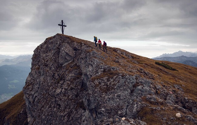
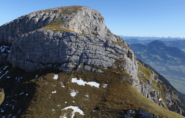
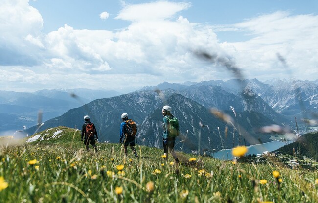
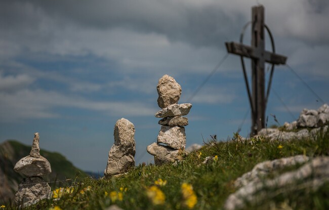
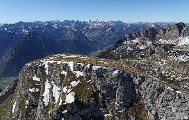
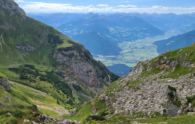
There are two ways to access the Haidachstellwand and it is possible to walk across the summit from both directions. From the top station of the Rofan cable car, walk until you are beneath the Mauritzalm mountain hut. Turn right and walk between mountain pines and over alpine meadows until you reach the western grassy slopes of the Hochstellwand. A steep trail climbs to the first scarp by way of switchbacks. To descend, walk a little further along the summit ridge until the path leads down to the eastern flank of the Haidachstellwand. The trail descends a little and takes you to the Krahnsattel and to the Grubalacke. From here, continue along the trail back to the top station of the Rofan cable car.